

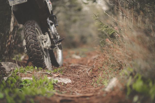
Search "best green lanes in the Peak District" and you'll find a dozen lists built around the same famous names. Here's what most of them won't tell you: several of those famous names have had a Traffic Regulation Order made against them in the last few years. The Peak District has more green lane mileage than the Lake District, but it's also seen more of its best known routes restricted than any other national park in England. Both things matter here.
The lanes that used to top every list
For years, these were the routes every Peak District green laning guide led with. The Peak District National Park Authority's own records confirm that Traffic Regulation Orders have now been made on all of them:
- Chapel Gate
- The Roych
- Long Causeway
- Derby Lane
- Leys Lane
- Washgate
- Wetton Hills
These weren't obscure farm tracks. Long Causeway crosses right past Stanage Edge on an old Roman road, and Chapel Gate linked Edale to Chapel-en-le-Frith in a way riders had used for decades.

One thing worth knowing before you write these off completely: a TRO doesn't always treat every motor vehicle the same. Elsewhere in the Peak, a temporary order on New Road at Eyam was made with an exemption for considerate solo motorcycles even while restricting cars and 4x4s. We haven't confirmed whether any of the orders above carry a similar exemption, and we're not going to guess, but it's exactly why "a TRO has been made" isn't the end of the research, it's the start of it. This is how a TRO actually works its way through, and the wording of the order, not the fact that one exists, is what tells you whether your specific bike on your specific day is covered.
What's still worth checking
The Peak still has genuine green lane mileage, much of it made up of Unclassified County Roads rather than confirmed BOATs, which is an important distinction. UCRs have possible rights for motor vehicles rather than proven ones, so knowing the difference between a BOAT and a UCR matters more here than in most regions. Areas around Castleton and the Goyt Valley have long held routes used by trail riders, and lanes near Holmfirth on the Yorkshire border have been documented by riders linking a day's route between the two national parks. None of this is a guarantee. Check the current Highway Authority status for whichever county the lane falls in, the Peak spans seven of them, before you plan a route around it.
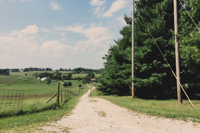
Why this keeps happening
The pattern behind most Peak District closures is depressingly consistent: damage draws complaints, complaints trigger a council survey, and a survey that finds significant damage leads to a TRO consultation. It isn't usually one rider on one bad day, it's cumulative wear from years of use meeting a landscape that can't always take it. The Peak's high visitor numbers and its position as the most accessible national park to most of England's population make this pressure worse than almost anywhere else.
"The Peak is the clearest lesson in the whole country for why we built Holloway the way we did. A route that was fine to ride two years ago can be a closed byway today, and nobody sends out a newsletter when that happens. You find out when you're already stuck at a locked gate."
- Mat Stuckey, founder of Holloway
Before you plan a day here
Don't build a route around a list, including this one. A Traffic Regulation Order can be permanent or temporary, seasonal or conservation driven, and specific to certain vehicle types, so the only way to know exactly what applies to your bike on your day is to check the order itself rather than a summary of it.
Before you plan a day around any of these:
- Check the relevant Highway Authority's own records, the Peak spans seven of them
- Read the exact wording of any TRO for your vehicle type, not just whether one exists
- Ask your local TRF group, they'll usually know the current word on the ground
- Plan your connectors properly if you're stringing several lanes into one day out
Outside of the byways themselves, Derbyshire, Staffordshire and the Peak's other counties also have some lovely unpaved and single-track roads that aren't green lanes at all, just quiet minor roads that happen to be unsurfaced. We're building these into Holloway's database county by county alongside the legal byways, so it's worth a look even between lanes.
Holloway is a free green lane finder, BOAT map and route navigation tool for England and Wales. The free version covers:
- Every lane's legal type, difficulty, length and hazards
- A TRO status check on each one, which opens a search so you can do the final check yourself, in one place
- Pointers to the TRF and the relevant council for anything the app can't answer alone
We won't tell you a lane is definitely legal, in the Peak especially that call depends on the exact wording of the order and your vehicle type, but we'll get you to the answer faster than digging through seven different council websites. Once you've confirmed a route, build it into a full multi-lane day and navigate the whole thing from inside the app. For £20 a year, Holloway Premium adds:
- Road-following connectors between lanes
- GPX export for your GPS
- Exact coordinates and live weather
- A full day's route, planned around what you've actually confirmed, not what an old list assumed