
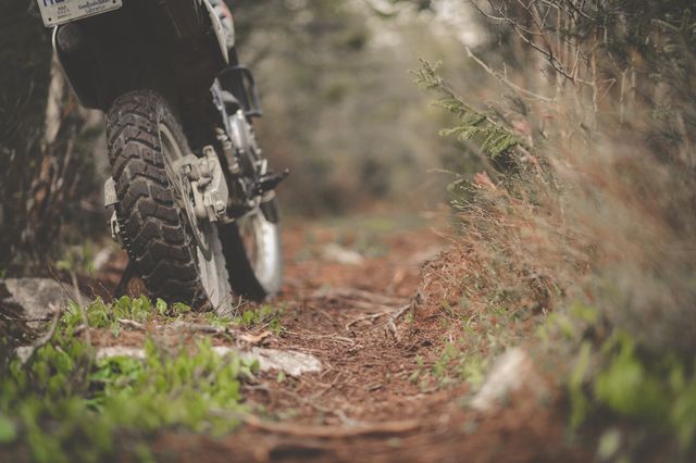
Ask any green laner in Britain to name one lane off the top of their head, and a large number will say Strata Florida before anything else. Wales punches well above its size for green laning, mostly thanks to the Cambrian Mountains, and this list covers the routes that earned that reputation, plus one that gets misquoted more than any other lane in the country.
Strata Florida
Strata Florida runs through the heart of the Cambrian Mountains, roughly between Pontrhydfendigaid and the Abergwesyn mountain road near Tregaron, and it's widely regarded as one of the best known legal byways in Britain. The technical core is around seven miles, though total ride length depends on where you start and finish, and it includes multiple river crossings, sources differ on the exact count but it's routinely cited in the high single figures. That's the headline feature and the headline hazard in the same sentence. After heavy rain the crossings turn a fun technical ride into a genuinely risky one, so read the water before you commit to it, not just the forecast.
Elan Valley
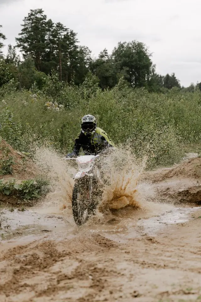
Nicknamed the "Welsh Lake District" for its chain of reservoirs and open moorland, the Elan Valley includes a route that requires a permit to drive or ride, rather than being open access. This is one of the clearer examples in Wales of a lane where enthusiasm has to wait for paperwork.
Don't treat a permit requirement as a formality to skip. It's the same principle as a TRO in reverse, permission that's been actively granted rather than access that hasn't yet been taken away, and riding it without sorting that first is the fastest way to turn a good relationship between riders and landowners into a bad one.
Sarn Helen, and the myth worth correcting
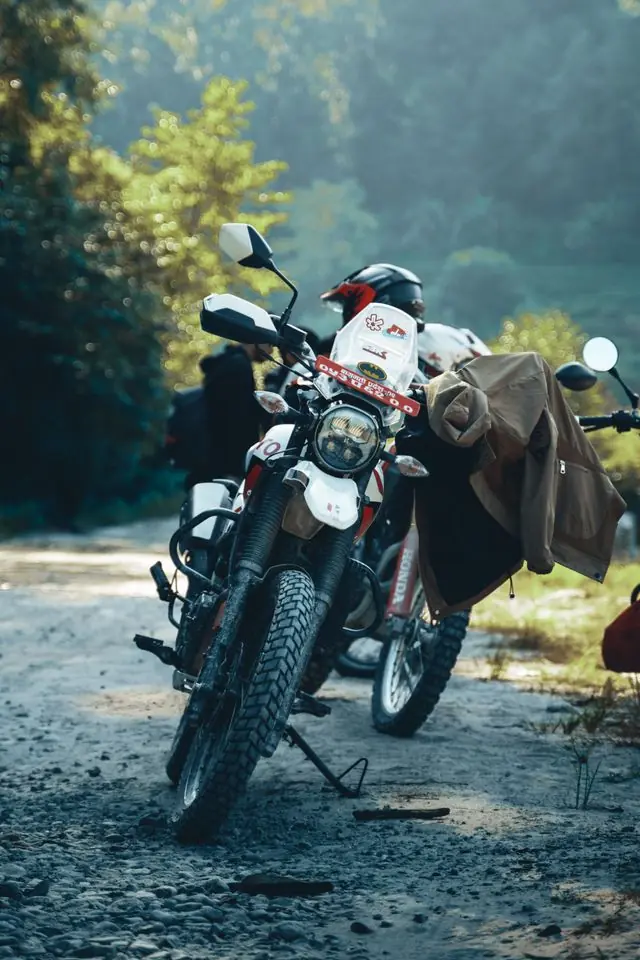
Sarn Helen is an old Roman road running the length of Wales, and sections of it show up in green laning guides going back decades. We need to correct something here too: an earlier version of this article called the southern section, near Resolven and Abergarwed, a restricted byway. It isn\'t. The council\'s own Definitive Map records it as a BOAT, and Holloway\'s own map already had that right, the mistake was in this article\'s own text, not our data.
The real restriction is a seasonal one, and it\'s just as easy to ride into by accident: this section is only open to motor vehicles from 1 June to 21 August each year, closed the rest of the year. A genuinely legal BOAT for twelve weeks becomes reference-only riding for the other forty, with nothing about the classification itself changing to warn you. Check the season, not just the type, before you plan a route around it.
The wider Cambrian network
Beyond the two headline routes, local riders string together longer circuits around:
- Rhayader
- The Crychan Forest
- Strata Florida and Elan Valley, linked together as what's sometimes called the Cambrian Circuit, a route of around a hundred miles
Building a route like that properly means planning the connectors between lanes with the same care as the lanes themselves, since a hundred miles with the wrong link roads is a very long, tarmac-heavy day.
"Sarn Helen is the one I wish more guides got right. It's a genuinely brilliant piece of history and half of it is a restricted byway. Those two facts aren't in conflict, but a lot of green laning content online writes as if they are."
- Mat Stuckey, founder of Holloway
Wales in numbers, from Holloway's own records
Most guides to green lanes in Wales repeat the same handful of names. These figures come from the lane records behind the Holloway map, built from council rights of way records, traffic orders and OpenStreetMap, and they're rebuilt every time those records change. Figures as of October 2026.
| Legal green lanes (BOATs and UCRs) | 2,119 sections, 1,301 km |
|---|---|
| Open to motorcycles* today | 1,258 km (97%) |
| Under a seasonal closure | 12 km |
| Closed to motor vehicles by an order | 11 km |
| Needs checking first (a possible order, tidal, military range or unverified) | 20 km |
| Unsurfaced, where the surface is recorded | 87% |
| Restricted byways (no motor vehicles) | 1,028 km, 0.8 km for every km you can ride |
How complete the closure figures are: We've checked Powys's published lists of temporary and permanent closures and two Carmarthenshire orders. Elsewhere in Wales, closures come from OpenStreetMap and riders' reports, which miss many orders. Every closure we know of.
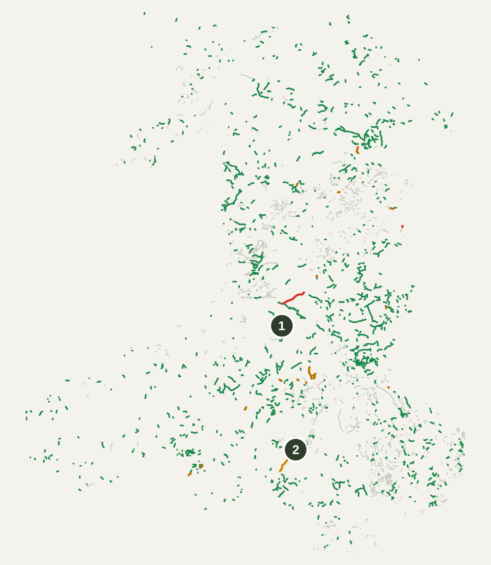
Green: open to motorcycles*. Amber: seasonal closure or check first. Red: closed to motor vehicles. Grey: restricted byways, not for motor vehicles. Numbers match the table below.
The lanes in this guide, checked against our records
| # | Lane | Status today |
|---|---|---|
| 1 | Strata Florida 12 km, BOAT / UCR | Open to motorcycles* |
| 2 | Sarn Helen 19 km rideable, of 230 km, Route | Part seasonal, 12 km: closed 22 Aug to 31 May |
Some lanes in this guide are recorded under a council code rather than the name riders use, so they aren't listed here. Find them on the map.
Closures to know about in Wales
- Monk's Trod, 11 km: Temporarily closed
Longest open named lanes not in this guide
- Ffordd Pen Bwlch Llandrillo, 14 km, UCR, not recorded
- Water-break-its-neck Byway, 7.7 km, BOAT, unsurfaced
- Glyndŵr's Way, 7.5 km, BOAT, not recorded
- Ffordd Ddu, 6.8 km, UCR, not recorded
- Rhiw Road, 4.1 km, UCR, not recorded
How Wales compares
| Region | Legal lane | Open today* | Seasonal or closed | Unsurfaced |
|---|---|---|---|---|
| Wales | 1,301 km | 97% | 23 km | 87% |
| Yorkshire | 480 km | 96% | 18 km | 90% |
| Cornwall | 256 km | 100% | None recorded | 70% |
| Lake District | 106 km | 96% | 4.7 km | 76% |
| Peak District | 141 km | 86% | 18 km | 88% |
To go further: the Wales trail riding guide, every named lane, and Bannau Brycheiniog, Eryri and Pembrokeshire Coast national parks.
*Open as recorded: the lane's legal status supports motorcycles and we know of no order closing it. Legal status changes, so check signage and current Traffic Regulation Orders before you ride.
Before you ride any of these
Wales rewards riders who do their homework more than most regions, partly because a lane's condition after a wet week in the Cambrian Mountains can be completely different to the same lane in a dry August. Where a route does carry a TRO rather than a fixed classification, remember an order isn't always written for every vehicle in the same way, a restriction aimed at cars and 4x4s doesn't automatically cover a motorcycle, or vice versa, so read the actual wording rather than assuming.
Before you commit a day to any of these:
- Check current status against the actual classification, not the reputation
- Read the exact vehicle wording on any TRO rather than assuming it covers you
- Ask the Trail Riders Fellowship directly, they have a long history of access work in Wales specifically
- Respect any permit, and remember a restricted byway stays restricted no matter how good the story about it is
Powys and Ceredigion also have some beautiful unpaved and single-track roads outside the green lane network altogether, quiet unsurfaced minor roads rather than byways. We're adding these to Holloway's database county by county alongside the legal lanes, so it's worth a look even if you're not chasing byway mileage specifically.
Holloway is a free green lane finder, BOAT map and route navigation tool for England and Wales. The free version covers:
- Every lane's legal type, difficulty, length and hazards
- A TRO status check on each one, which opens a search so you can do the final check yourself, in one place
- Pointers to the TRF and the relevant council for anything the app can't answer alone
We won't tell you a lane is definitely legal, that includes routes like Sarn Helen where the myth is louder than the map, but we'll help you find the actual answer faster than a forum thread from 2015 will. Once you've confirmed a route, build it into a full multi-lane day and navigate the whole thing from inside the app. For £20 a year, Holloway Premium adds:
- Road-following connectors between lanes
- GPX export for your GPS
- Exact coordinates and live weather
- A full day's route through the Cambrian Mountains, built on what you've actually confirmed