
Cornwall pulled in the biggest single batch of legal green lanes this project has processed, 150 lanes from one county alone, and it's easy to see why once you actually ride it. Two open moors, a coastline that never stops changing character, and byways that connect genuine historic sites rather than just farmland. Here's where to start.
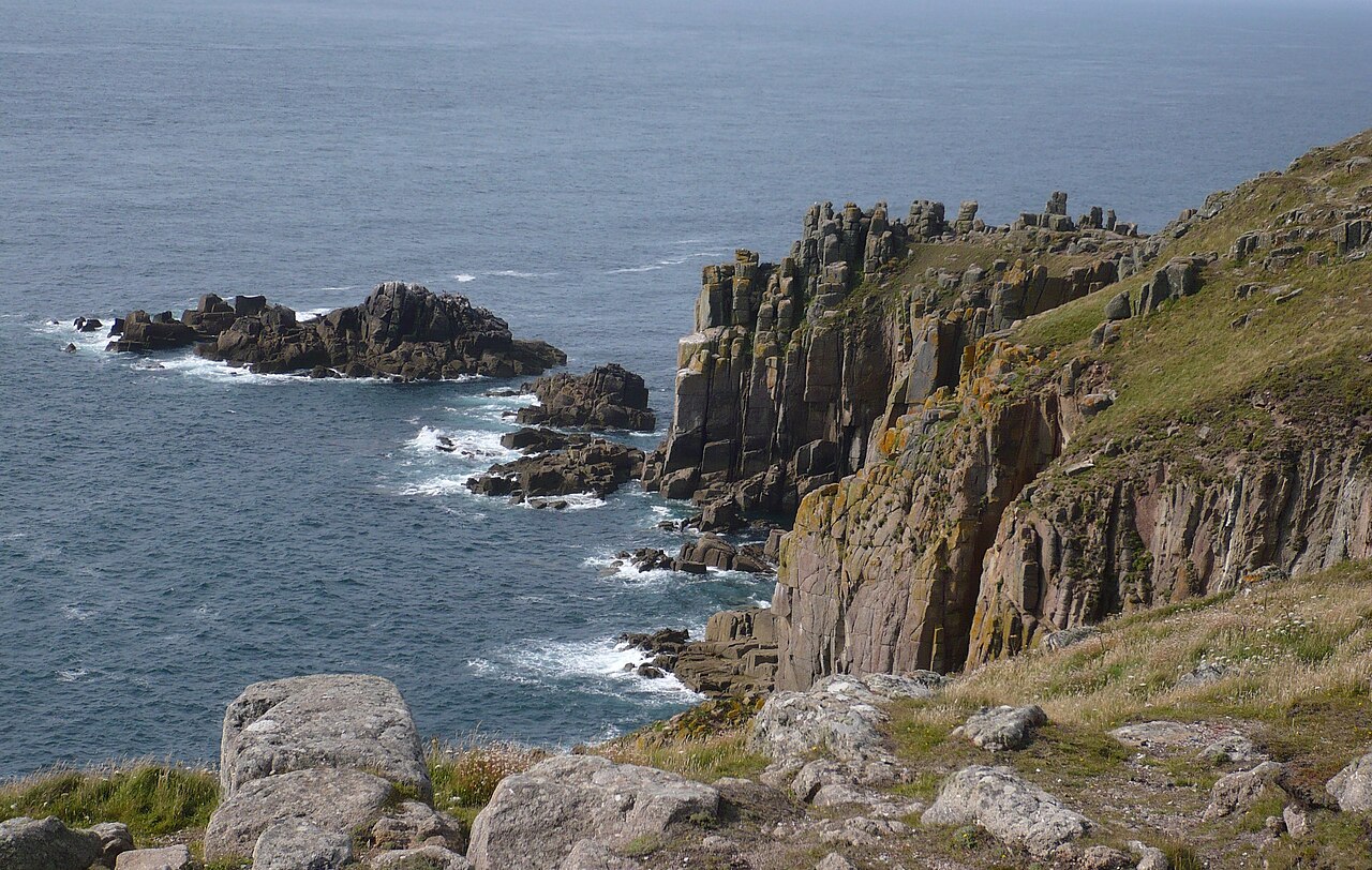
Land’s End, the most westerly point of mainland England. Jakemete, CC BY 3.0, via Wikimedia Commons.
Bodmin Moor
Cornwall's own high moor, smaller and less well known than Dartmoor or Exmoor but carrying a genuine spread of legal byways and unclassified roads around its edges. Rough Tor and Brown Willy, Cornwall's two highest points, dominate the skyline for most of it, and the moor's own stone circles and Bronze Age remains sit close enough to several lanes to make a natural stop.
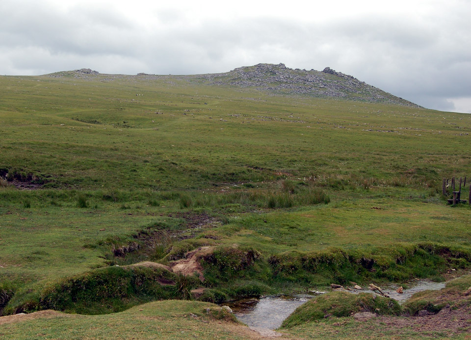
Rough Tor, Bodmin Moor. Andy F, CC BY 3.0, via Wikimedia Commons.
Tintagel and the north coast
The lanes around Tintagel link some of the most dramatic coastline in the country, Arthurian legend aside, this is a genuinely spectacular stretch of Cornwall regardless of what you make of the castle's own history. The coast itself isn't for riding, obviously, but the byways a mile or two inland make a natural loop with a stop at the castle itself worth the walk.
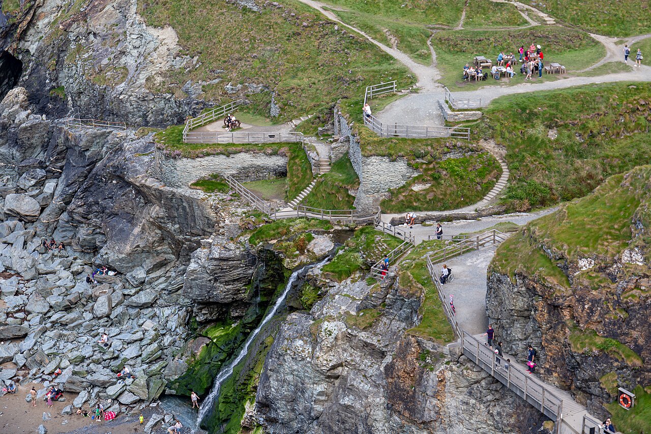
Tintagel Castle. Balon Greyjoy, CC BY-SA 4.0, via Wikimedia Commons.
Penwith and the far west
Beyond Land's End itself, the Penwith peninsula is dense with prehistoric sites, quoits, stone circles and Iron Age settlements packed closer together than almost anywhere else in Britain, and the lanes threading between them are some of the most rewarding riding Cornwall has, technical in places, with granite outcrops and genuine moorland character despite sitting so close to the coast.
What's actually legal here
Cornwall's byways went through the same careful process as everywhere else on Holloway, real BOATs and UCRs checked against the actual mapping data, not assumed from how a track looks. The difference between a BOAT, a UCR and a restricted byway matters here as much as anywhere, Cornwall's moors carry plenty of walkers-only paths that look identical to a legal byway from the saddle.
"Cornwall surprised me. You go in expecting the coast and end up remembering the moor instead, Bodmin especially, it's got a completely different character to Dartmoor despite being twenty miles away."
- Mat Stuckey, founder of Holloway
Holloway is a free green lane finder, BOAT map and route navigation tool for England and Wales. Every Cornwall lane's legal type, difficulty and hazards are free to check, no account needed, and a Legal Status Search is built into each one for anything you're still unsure about.