
Most searches for the best green lanes in Yorkshire mean one place: the Yorkshire Dales, where a genuinely good network of byways runs through some of the most dramatic limestone scenery in England. There's also a smaller, quieter set of lanes around Holmfirth on the West Yorkshire side, useful for anyone linking a route toward the Peak District. Both are worth knowing, and both come with the same caveat that applies everywhere in this article: check before you ride, not after.
Stalling Busk
Running out from near Hawes, Stalling Busk is one of the longer continuous off-tarmac routes in the Dales at just over ten miles, which makes it a genuine highlight rather than a five-minute detour. Riders generally rate it moderate in dry conditions, with the final stretch toward Marsett becoming noticeably harder once it's wet. It's often linked with several neighbouring lanes to build a full day's riding rather than ridden in isolation.
The Roman Road, also known as Cam High Road
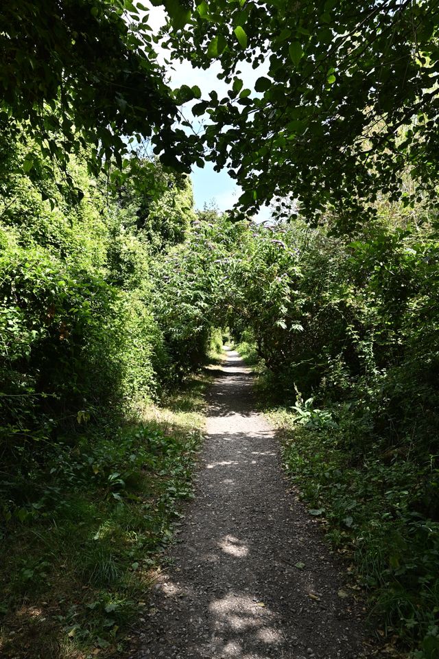
This is the lane we'd point to if you want a real example of why "check before you ride" isn't just a disclaimer we're required to add. Cam High Road is an ancient Roman road and former packhorse route between Ingleton and Hawes, and it now carries part of the Pennine Way and the Dales Way.
Some older riding guides describe it as a straightforward, well signed byway open to all traffic. Separately, there's clear record of a Traffic Regulation Order being sought specifically to protect the route from motor vehicle damage. Two things can both have been true at different points, which is precisely the problem. It's also worth remembering that an order aimed at heavier vehicles, or written before motorcycles were the main concern, doesn't necessarily read the same way for a trail bike as it does for a 4x4. Don't rely on either source. Check the current status, and the exact wording for your vehicle type, directly before you plan around it.
Stonesdale Lane and Cliff Gate Road
Up near Tan Hill, these connected routes cut across genuinely wild moorland with views across Swaledale that riders consistently rate among the best in the Dales. They're used more as scenic connectors between other lanes than as standalone rides, and the exposure up here means weather can turn a straightforward day into a hard one quickly.
Deadman's Hill and Birkwith Moor
Both of these sit in the more technical bracket, with rockier sections and steeper gradients than Stalling Busk, and both are regularly named by experienced off-road drivers and riders as firm favourites in the Dales network. They reward someone who already has a season or two of green laning behind them rather than a first attempt.
The Holmfirth lanes
South of the Dales proper, on the West Yorkshire side, a handful of shorter documented lanes run near Ramsden Road and Jackson Bridge. Legal mileage is genuinely sparse in this pocket compared to the Dales, but the lanes that do exist are well documented and useful if you're building a route that bridges toward the Peak District rather than staying in one national park all day.
"Cam High Road is the one people argue about most, and I get why. It's ancient, it's beautiful, and there are genuinely conflicting accounts of its current status floating around online. That's exactly the kind of route where I'd rather send someone to check properly than repeat what I read somewhere five years ago."
- Mat Stuckey, founder of Holloway
Before you head out
The Definitive Map held by the local authority is the actual legal record here, not a forum thread or an old magazine feature, however well loved. Yorkshire has a good amount of remaining green lane mileage compared to some national parks, but "good amount" still means checking each one individually.
Before you set off:
- Check status against the Definitive Map, not just a forum thread or an old magazine feature
- Check the exact vehicle wording, especially anywhere accounts conflict the way they do on Cam High Road
- Message your local TRF group, they'll often know the current word before it's reached any website
- Work out your connectors and a bail-out option if you're linking several lanes into one day
North and West Yorkshire also have plenty of beautiful unpaved and single-track roads that sit outside the green lane network entirely, just quiet, unsurfaced minor roads rather than byways. We're adding these to Holloway's database county by county alongside the legal lanes, so they're worth a look too.
Holloway is a free green lane finder, BOAT map and route navigation tool for England and Wales. The free version covers:
- Every lane's legal type, difficulty, length and hazards
- A TRO status check on each one, which opens a search so you can do the final check yourself, in one place
- Pointers to the TRF and the relevant council for anything the app can't answer alone
We won't tell you a lane is definitely legal, especially somewhere like Cam High Road where the accounts genuinely conflict, but we'll get you to a proper answer faster than three different forum threads will. Once you've confirmed a route, build it into a full multi-lane day and navigate the whole thing from inside the app. For £20 a year, Holloway Premium adds:
- Road-following connectors between lanes
- GPX export for your GPS
- Exact coordinates and live weather
- A full day's route, built on what you've actually confirmed, not on whichever source agreed with what you wanted to hear