


Every county in England and Wales holds a document that decides, in law, where you can and cannot ride. It isn't the Ordnance Survey map in your tank bag. It isn't Google Maps, and it certainly isn't the dotted track you spotted on satellite view that looks like it goes somewhere interesting. It's called the Definitive Map, and if you ride green lanes without knowing what it is, you're navigating on guesswork.
What the Definitive Map actually is
The Definitive Map and Statement is the legal record of public rights of way for a given area, maintained by the local county council or unitary authority (or, in Wales, the relevant county or county borough council). It was built up over decades under legislation going back to the National Parks and Access to the Countryside Act 1949, later consolidated and amended by the Wildlife and Countryside Act 1981.
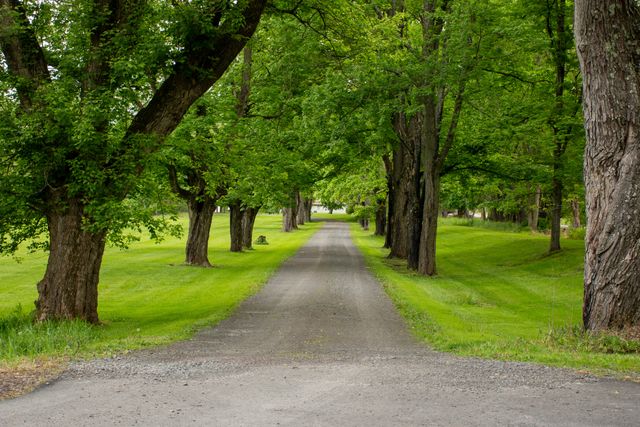
Each route on the map carries a legal classification: footpath, bridleway, restricted byway, or Byway Open to All Traffic (BOAT). That classification, not the width of the track or how well used it looks, is what determines whether you can legally ride a motorcycle on it. A route can look like a wide, hard-packed farm track and still be a footpath in law. A route can look overgrown and half-forgotten and still be a BOAT, fully open to motor vehicles.
The map is a legal record, not a survey of what's physically on the ground. That gap between the two is where most green laning mistakes happen.
Why this matters more than your OS map
An Ordnance Survey map is brilliant for terrain, contours, and getting a sense of where a lane goes. What it doesn't reliably tell you is the legal status of that lane for motor vehicles. OS symbols for byways, bridleways, and footpaths are a helpful guide, but they're not a substitute for checking the Definitive Map, and OS mapping can lag behind changes to a route's legal status.
A lane can also look entirely ridable to the eye and still carry no public vehicular right at all. Chalk and flint tracks across the Chilterns, rutted clay bridleways in the Peak District, green tunnels through Exmoor woodland, plenty of them are stunning to look at and completely off limits to anything with an engine. The only way to know for certain is to check the legal record, not the visual impression.
How to find your own county's map
Every county council and Welsh unitary authority is legally required to keep a Definitive Map and Statement, and most now publish some form of digital access to it, though the quality and usability vary wildly between authorities. Some councils offer a proper interactive map layer, others still hold paper extracts that you have to request or view in person. Search for your county council's name plus "Definitive Map" and you'll usually land on the right page, though be prepared for inconsistent formats from one authority to the next.
This is precisely the friction Holloway was built to remove. Rather than working through dozens of different council systems, you can check a lane's legal status on Holloway's map by clicking "Check for a current TRO"and see its classification, its current condition, and whether any closures apply, as the app will route you to the appropriate Google search.
What appears on the map versus what's actually out there
This is the part that trips up even experienced riders. Not every historic right of way has made it onto the Definitive Map. Routes that were used for centuries, drovers' roads, old parish tracks, disused county roads, can exist in old documents, tithe maps, and enclosure awards without ever being formally recorded. Legally, an unrecorded right of way can still exist, but proving it and getting it added is a separate, often lengthy process.
This unrecorded category is exactly what Section 53 of the Countryside and Rights of Way Act 2000 was designed to deal with, by setting a cut-off point after which certain historic rights would be extinguished if never claimed. We've covered the detail, including a significant recent change to the timeline, in a separate piece: read our full explainer on the Section 53 deadline.
The short version for now: if a lane you know and value isn't yet on the Definitive Map, time to get it properly recorded is not unlimited, and the process is worth understanding well before any deadline looms.
Reading the classifications correctly
When you do pull up a Definitive Map, you'll see a handful of designations, and getting them right matters:
- Footpath: for walkers only. No motor vehicles, no exceptions.
- Bridleway: walkers, horse riders, and cyclists. Still no motor vehicles.
- Restricted byway: adds non-mechanically propelled vehicles, such as horse-drawn carriages. Motor vehicles are not permitted.
- Byway Open to All Traffic (BOAT): the only category that includes a right for motor vehicles, including motorcycles.
You'll also occasionally come across an Unclassified County Road (UCR), which sits outside the Definitive Map system entirely but appears on a council's list of highways. A UCR is generally treated as open to motor traffic, but appearing on a council's road list doesn't by itself carry the same confirmed statutory right that a BOAT has, so it's worth extra care and a current check before treating one as a given. Rarer still is the Other Route with Public Access (ORPA), a legacy category from an earlier reclassification process that remains genuinely ambiguous and should be treated with particular caution.
For the full breakdown of these classifications, our earlier piece goes into more depth: every green lane classification explained.
"People assume the map they're looking at on their phone is the legal record. It usually isn't. The Definitive Map is boring to look at and it's the only document that actually matters."
— Mat Stuckey, founder of Holloway
Before you ride
Treat the Definitive Map, or a tool that reflects it accurately, as your first stop before any green lane ride, not an afterthought. Classifications can change. Traffic Regulation Orders can close a BOAT overnight, permanently or seasonally. A lane that was fine last spring might carry a fresh restriction this autumn.
Legal status can and does change, so always check current signage on the ground as well as the official record before you ride, whatever source you've used to plan.
Plan with confidence, not guesswork
Holloway is free to browse: every legal green lane in England and Wales, its classification, difficulty, hazards, and whether it's currently open, all pulled together so you're not hunting through inconsistent council websites.
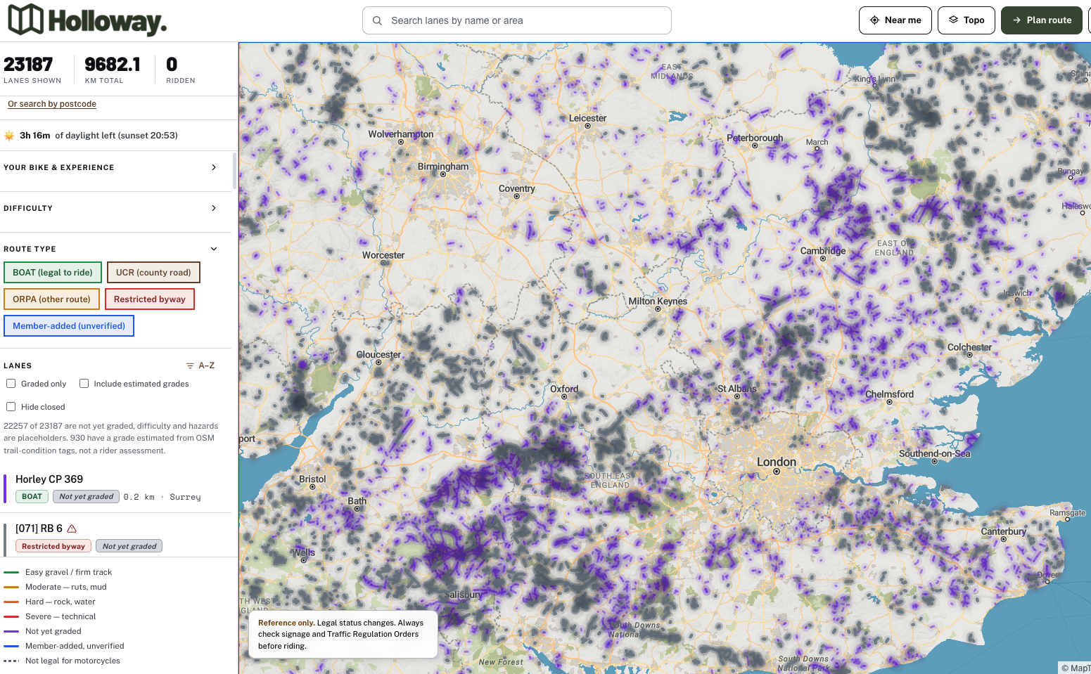 For £20 a year, Holloway Premium adds full route planning with road-following connectors between lanes, GPX export for your GPS, exact coordinates, and live weather, so you can build a full day's ride and take it offline with confidence in what you're actually riding on.