
We mapped every legal green lane in England and Wales: all 18,178 sections of byway open to all traffic (BOAT) and unclassified county road (UCR) in the records behind Holloway. Then we added them up. Some of what came out surprised us, including the fact that the longest one runs across an army training area.
Every figure here comes from our own lane data as of 15 October 2026, built from council rights of way records, traffic orders and OpenStreetMap. How we counted is at the end.
There are 9,015 km of them, further than London to Los Angeles
Laid end to end, the legal green lanes of England and Wales come to 9,015 km, or about 5,600 miles. That's further than flying from London to Los Angeles (around 8,750 km). Of that, 5,406 km is BOAT and 3,586 km is UCR, with a few km of other routes with public access.
Not all of it is rideable today. 8,281 km, or 92%, is open to motorcycles* with no order we know of. The rest is closed, seasonal, or needs checking first, and that's where the interesting parts are.
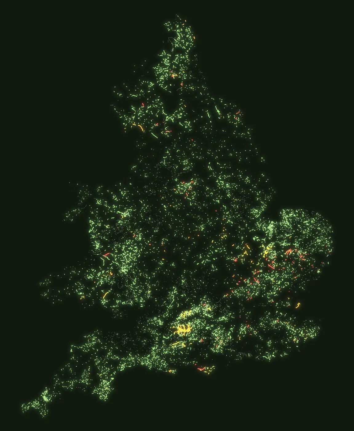
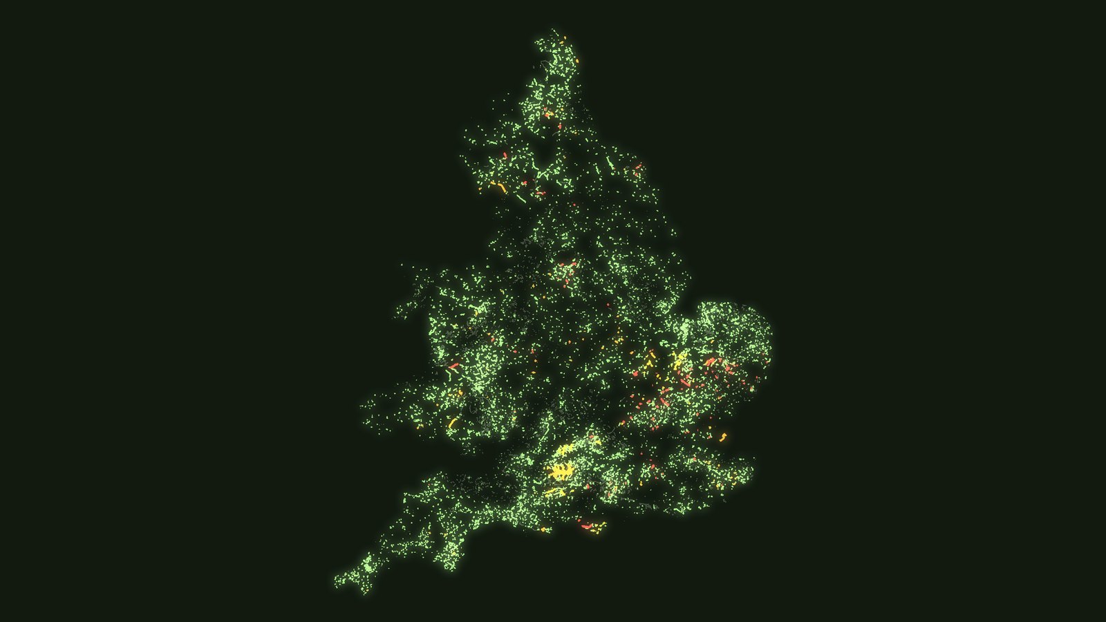
Every legal green lane in England and Wales. Green: open to motorcycles*. Amber: seasonal closures, military ranges and lanes to check first. Red: closed by a traffic order.
Nine in ten kilometres are unsurfaced
Where the surface is recorded, 90% of legal green lane distance is unsurfaced: grass, gravel, dirt, chalk, mud or rock. That's the whole point for most riders, but it's also why so many lanes are worth checking after rain. Our tyres by season guide covers what that means for your bike.
The longest green lane in England and Wales crosses an army range
The longest named green lane in our records is the Southern Transit on Salisbury Plain, at 21.1 km. It's a genuine BOAT, but it runs through a military training area, so it can close without notice when the range is in use. Check the range before you go.
The longest you can ride without that kind of catch is Rudland Rigg in the North York Moors, at 16 km.
| # | Lane | Status today |
|---|---|---|
| 1 | Southern Transit Wiltshire, 21.1 km | Military range, can close without notice |
| 2 | Rudland Rigg North Yorkshire, 16.0 km | Open to motorcycles* |
| 3 | Ffordd Pen Bwlch Llandrillo Wales, 13.6 km | Open to motorcycles* |
| 4 | Hornby Road Lancashire, 13.6 km | Cars restricted, motorcycles still legal |
| 5 | Cross Bay Walk Lancashire, 12.1 km | Tidal crossing, dangerous without local guidance |
| 6 | The Roman Road Cambridgeshire, 12.0 km | Closed to motor vehicles |
| 7 | Strata Florida Wales, 11.8 km | Open to motorcycles* |
| 8 | Monk's Trod Wales, 10.9 km | Temporarily closed |
| 9 | Cam High Road North Yorkshire, 10.2 km | Open to motorcycles* |
| 10 | Old Coach Road Cumbria, 8.0 km | Open to motorcycles* |
Two of the top ten deserve a closer look. Hornby Road over Salter Fell in Lancashire has been closed to motor vehicles since 1998, except solo motorcycles, which are fully exempt. Orders that spare motorbikes are rarer than you'd think. And Cross Bay Walk isn't a lane in any normal sense. It's a BOAT across the open sands of Morecambe Bay, with fast tides, quicksand and shifting channels. People have died out there. It's traditionally only crossed with the official Guide to the Sands, and nobody should attempt it on a bike without local guidance and tide times.
Only one in nine kilometres is inside a national park
National parks get most of the attention, but only 1,013 km of legal green lane, about 11%, sits inside one. The rest runs through ordinary farmland: chalk downs, fen droves and drove roads you've probably driven past without noticing. Our national parks guide has the lanes inside each park, and the counties with the most are further down.
Wales and Wiltshire have the most
| Area | Legal green lane |
|---|---|
| Wales | 1,272 km |
| Wiltshire | 741 km |
| Norfolk | 602 km |
| Devon | 508 km |
| Cambridgeshire | 493 km |
| Northumberland | 473 km |
Wales is a whole country rather than a county, so it's no surprise it tops the list. Wiltshire's figure is the remarkable one: one county with more than half as much legal lane as all of Wales, mostly chalk byways across the downs. If you want lanes per rider rather than lanes per county, Northumberland wins by a distance, as we found when we ranked every county for green lanes.
229 km are closed, and Suffolk has the most
Traffic Regulation Orders close 229 km of legal green lane to motor vehicles. The county with the most closed distance is Suffolk (44 km), then Cambridgeshire (34 km), Hertfordshire (25 km) and Derbyshire (16.5 km). The longest single closure is the Roman Road in Cambridgeshire, 12 km under council orders dating back to 1992.
Closures cluster where lanes are famous and busy. The Peak District has lost several of its best known, and our Peak District guide shows which are closed and which you can still ride. If you're new to orders, here's how a TRO works.
168 km close every winter
Another 168 km is open for only part of the year. Most of it is in Cambridgeshire, where 69 km of fen droves close to motor vehicles from 1 October to 30 April, when the fen soils are at their wettest. Bullock Road (5.8 km) and Fen Side (5.0 km) are the longest. Wiltshire has 48 km of seasonal lanes, including Old Blandford Road.
A seasonal lane looks exactly the same on paper all year, which is why it catches people out. Our winter closures page lists every one we know of, with dates.
There's a restricted byway for every two lanes you can ride
For every kilometre of green lane you can ride, there's more than half a kilometre of restricted byway you can't: 5,059 km in all. Restricted byways look just like BOATs on the ground, and plenty of old guides and forum posts mix them up. Riding one on a motorbike is an offence. Here's how to tell the classifications apart.
The four corners of the green lane map
The furthest points of the legal green lane network on mainland England and Wales, all of them BOATs:
- North: a byway just outside Berwick-upon-Tweed, Northumberland, a few miles from the Scottish border. North of the border, there's no BOAT system at all.
- South: Pentreath Lane, near the village of Lizard in Cornwall, less than a mile from mainland Britain's most southerly point.
- West: a byway near Cape Cornwall, just outside St Just in Penwith, a short walk from the Atlantic.
- East: a byway near Kessingland in Suffolk, a few miles south of Lowestoft, Britain's most easterly town.
How we counted
These figures come from the lane records behind the Holloway map. A section is one recorded piece of lane, so one long lane can be several sections. Lanes crossing a county border are counted once. We counted BOATs, UCRs and other routes with public access that our records show as legal for motor vehicles, in England and Wales only. Ireland and Scotland are left out, and Scotland has no equivalent of the BOAT. Lengths are measured along the mapped line. Restricted byways are counted separately and never as rideable.
*Open to motorcycles means the lane's recorded legal status supports motor vehicles and we know of no order closing it. Orders change, our coverage of them isn't complete everywhere, and UCRs especially are worth checking with the council. Always check signage and current Traffic Regulation Orders before you ride. How we check our data.