
Current status
No restriction we know of
Harrowgate Lane is recorded as a Unclassified County Road. We haven't found a Traffic Regulation Order or seasonal closure on it, but that doesn't guarantee there isn't one.
UCRs are on the council’s list of streets, which doesn’t confirm motor vehicle rights the way a BOAT designation does. Worth checking locally.
Check its status nowOpens a search for any current Traffic Regulation Order on Harrowgate Lane, the same Legal Status Search as in the app. Status checked against our data on 23/09/2026.
Where it runs
Harrowgate Lane in pink, with the lanes around it.
- AThe southwest end, near Denmead
- BThe northeast end, near Ludmore
Exact start points, GPX and navigation are in Premium.
Unlock →On the lane
Difficulty estimated from OpenStreetMap trail-condition tags, not a rider’s assessment. Ridden it? Suggest a grade from its card in the app.
Holloway Premium
Ride Harrowgate Lane with Holloway
- Navigate to either end in one tap, Google Maps takes you straight there
- Add it to a route with the lanes around it, joined by real roads
- Download the GPX of the whole lane, every section stitched together
- Live navigation with the lane on screen as you ride
£1 from every membership goes toward keeping lanes open.
Lanes nearby
The closest named lanes, measured from Harrowgate Lane.
- Pitt Hill Lane0.3 km northwest · 1.1 km long›
- Tagdell Lane1.6 km east · 0.6 km long›
- Ham Lane1.9 km east · 0.2 km long
- Coldhill Lane2.0 km southeast · 0.6 km long›
- Menslands Lane2.1 km west · 1.4 km long›
- The Creek - A.k.a. Old Lane2.2 km east · 0.1 km long
GPX routes that use it
Ready-made loops that include Harrowgate Lane.
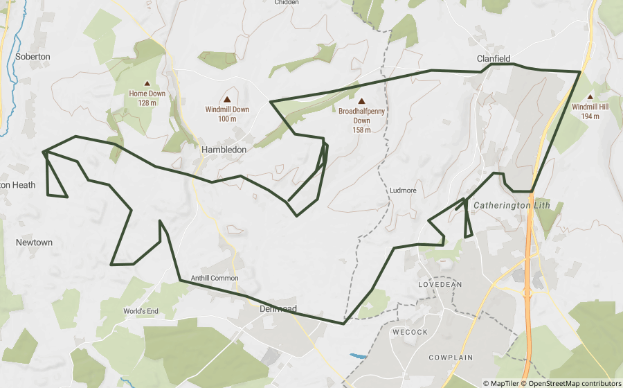
See every lane in the park, its closures and GPX routes›
Questions riders ask
Is Harrowgate Lane open to motorcycles?
Harrowgate Lane is recorded as a Unclassified County Road, and we don't know of any current restriction on it. Legal status can change at short notice, so check signage and current Traffic Regulation Orders before you ride.
How long is Harrowgate Lane?
About 1.8 km, measured across all 2 of its mapped sections. Its two ends are around 1.8 km apart in a straight line.
Where does Harrowgate Lane start and finish?
One end is near Denmead, at the southwest end, and the other is near Ludmore, at the northeast end. The map on this page shows both.
Is Harrowgate Lane in a national park?
Yes, Harrowgate Lane runs through the South Downs National Park. Some national park authorities make their own Traffic Regulation Orders, so it's worth checking the park's restrictions as well as the council's.
Find more lanes like this
Every lane’s legal status and hazards are free on the map, with a quick email sign-in.
Open the map, free Every named lane in HampshireLane data from OpenStreetMap contributors and council rights of way records. Place names © OpenStreetMap contributors. Reference only: legal status changes, check signage and current Traffic Regulation Orders before riding.